Note 05 · Contours
Spurs and re-entrants
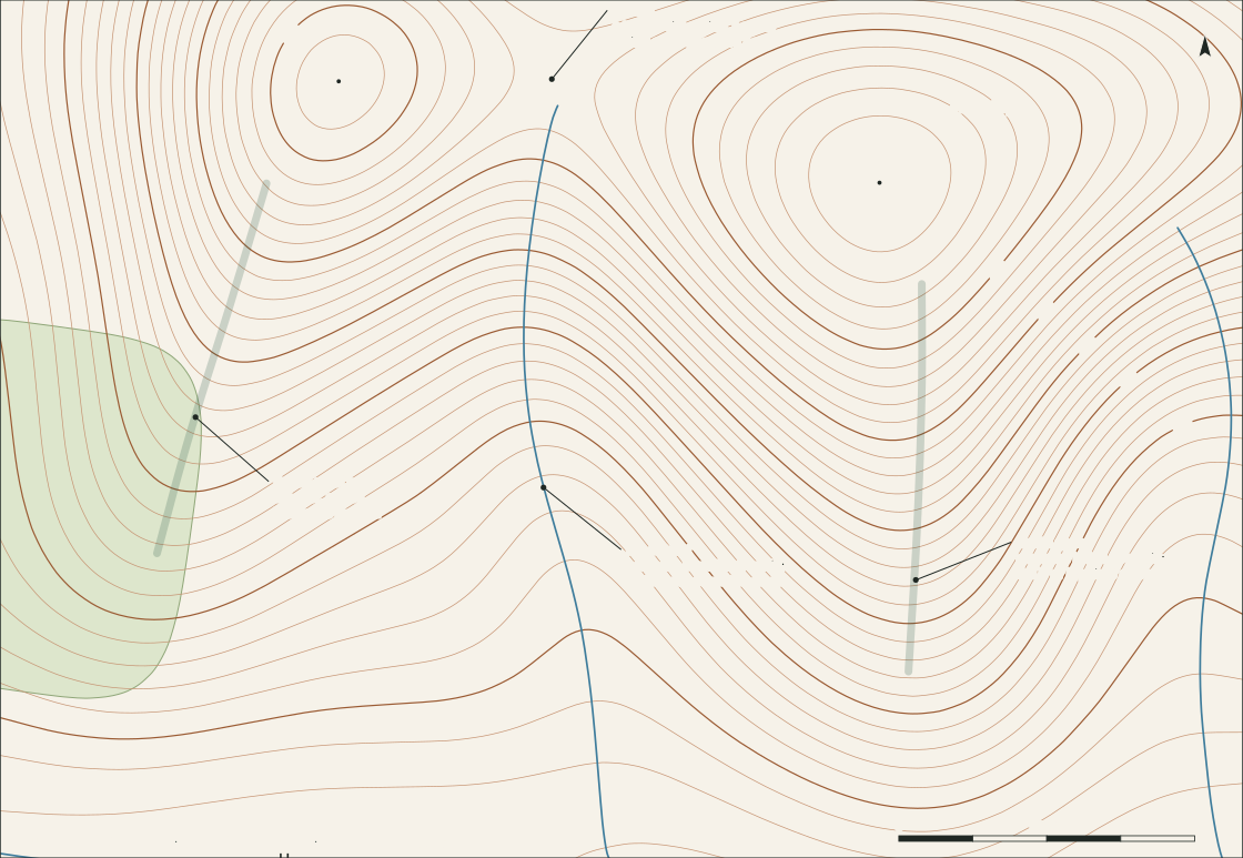
The same bend in a contour line can be a ridge or a valley. Which one it is depends on a single question: where is downhill?
2 sub-sections · 4 notes
Reading the shape of the ground from contour lines, and using what the map shows to hold a route together.
A map is a drawing of shape. Paths and place names are printed on top, but the thing underneath — the brown lines — says where the ground rises, folds and flattens, and that part goes out of date slowest.
Contours covers the shapes themselves and how steep they are. Route Reading covers how to string those shapes into a line that can be followed and checked.
Sub-section
What the brown lines are drawing: four basic shapes, and how the gaps between lines turn into slope.
Note 05 · Contours
The same bend in a contour line can be a ridge or a valley. Which one it is depends on a single question: where is downhill?
Note 06 · Contours
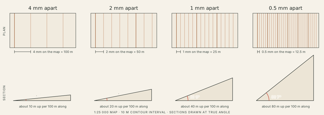
How far apart the lines sit is a measurement, not an impression. A small lookup table turns millimetres on the map into degrees on the ground.
Sub-section
Turning shapes into a line that can be followed: features to walk along, features to stop at, and the route seen side-on.
Note 07 · Route Reading
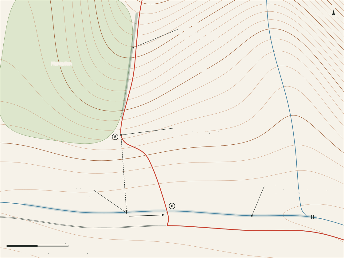
Four ordinary navigation ideas, worked through on one descent: something to follow, something to stop at, somewhere to start being careful.
Note 08 · Route Reading
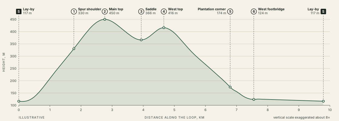
A route seen side-on shows where the effort falls. It also exaggerates, and leaves out nearly everything else.